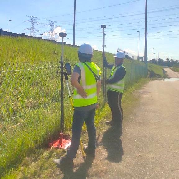
What is it?
A topographical survey is a detailed and precise mapping of the features on a specific piece of land. This type of survey captures the terrain's shape and its physical features, including:
Elevation
Changes in height across the area.
Contours
Lines that connect points of equal elevation, helping to illustrate the land’s slope.
Natural Features
Such as rivers, lakes, vegetation, and hills.
Man-Made Features
Buildings, roads, bridges, and other structures.
Topographical surveys are crucial for various applications, including land use planning, construction, and environmental management. They help in understanding the land’s topography, which can impact design and development decisions.
Equipment used
Total Station
GPS