Services

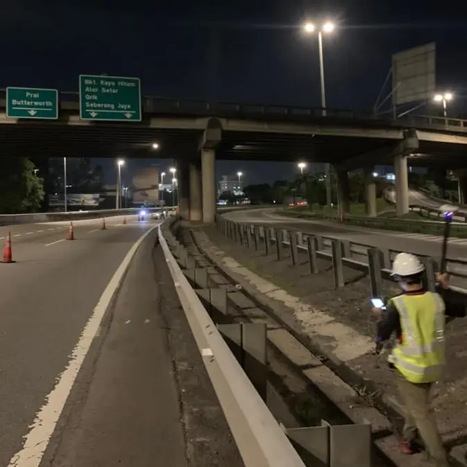
Underground Utility Mapping
Identifying and documenting the location, depth, and type of underground utilities.
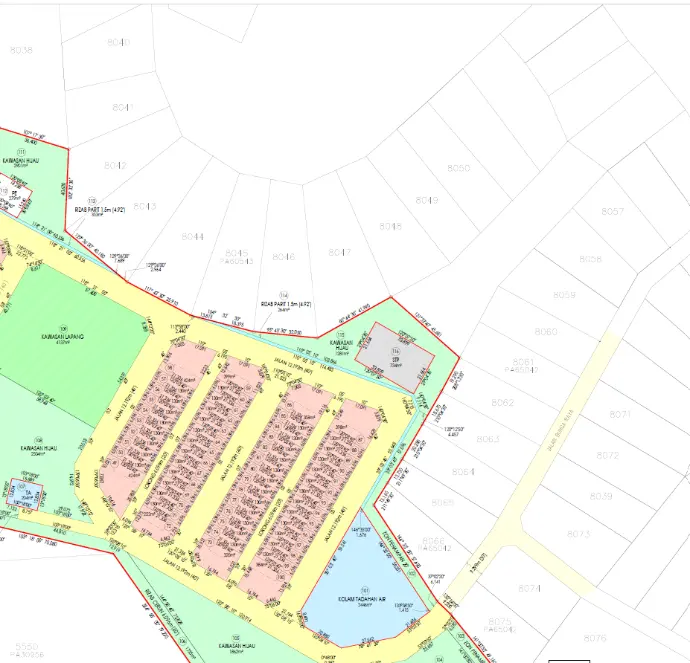
Cadastral Survey
Establish the boundaries and ownership of land parcels, often for development, legal, taxation, or administrative purposes .
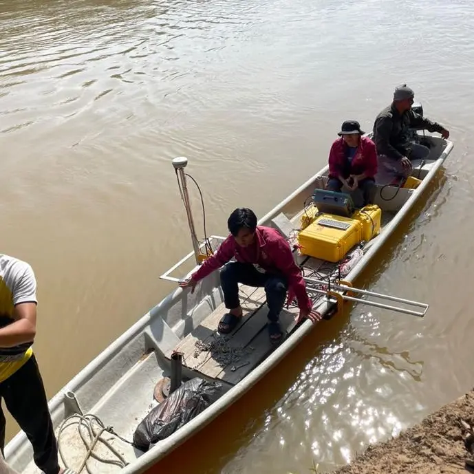
Hydrographic Survey
Surveys focusing on bodies of water, mapping the depth, contours, and underwater features
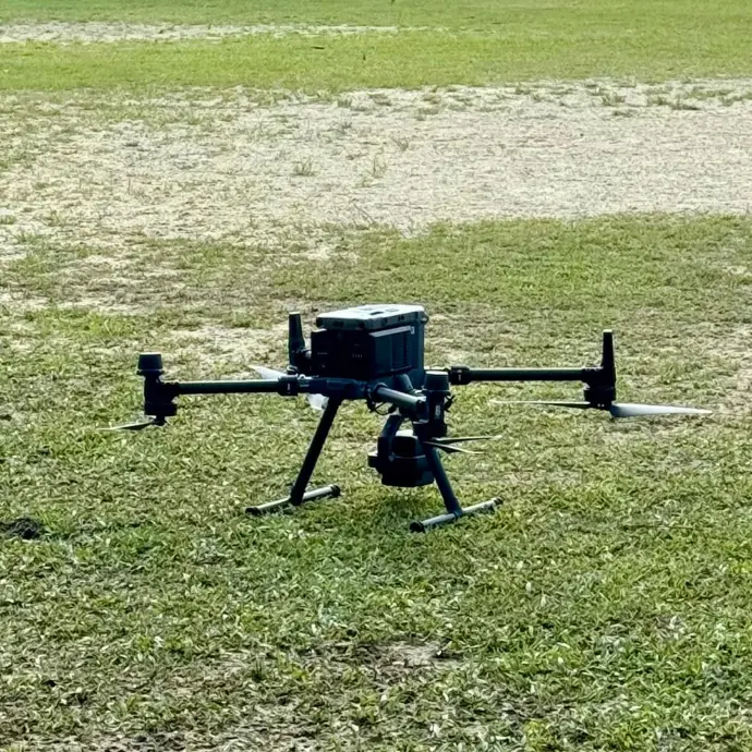
Aerial Mapping
Detailed maps of the Earth's surface using UAV aerial photography and LiDAR technology.
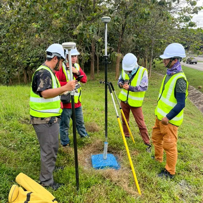
Engineering Survey
Conducted before construction or engineering projects to ensure that the plans are feasible and align with the existing conditions of the land or structure.