S.O SURVEY CONSULTANTS
LICENSED LAND AND ENGINEERING SURVEYOR AND CONSULTANT
Charting the Path to Your Land’s Potential
With over 20 years of surveying experience, we are committed to delivering exceptional results with a focus on future developments.

Services
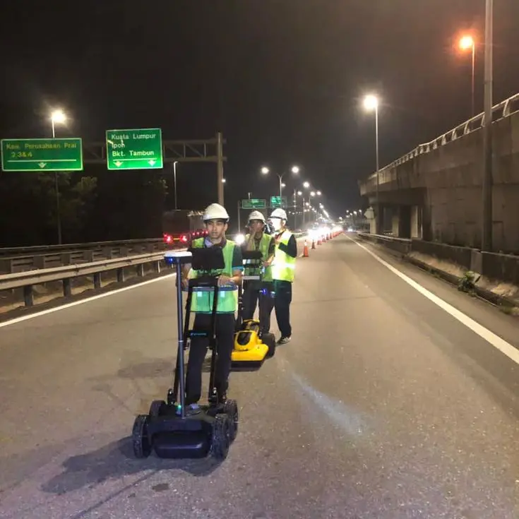
Underground Utility Mapping
Identifying and documenting the location, depth, and type of underground utilities.
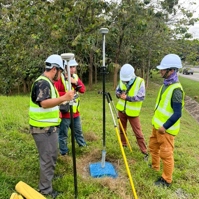
Topographical Survey
Mapping and measuring the physical features of a given land area
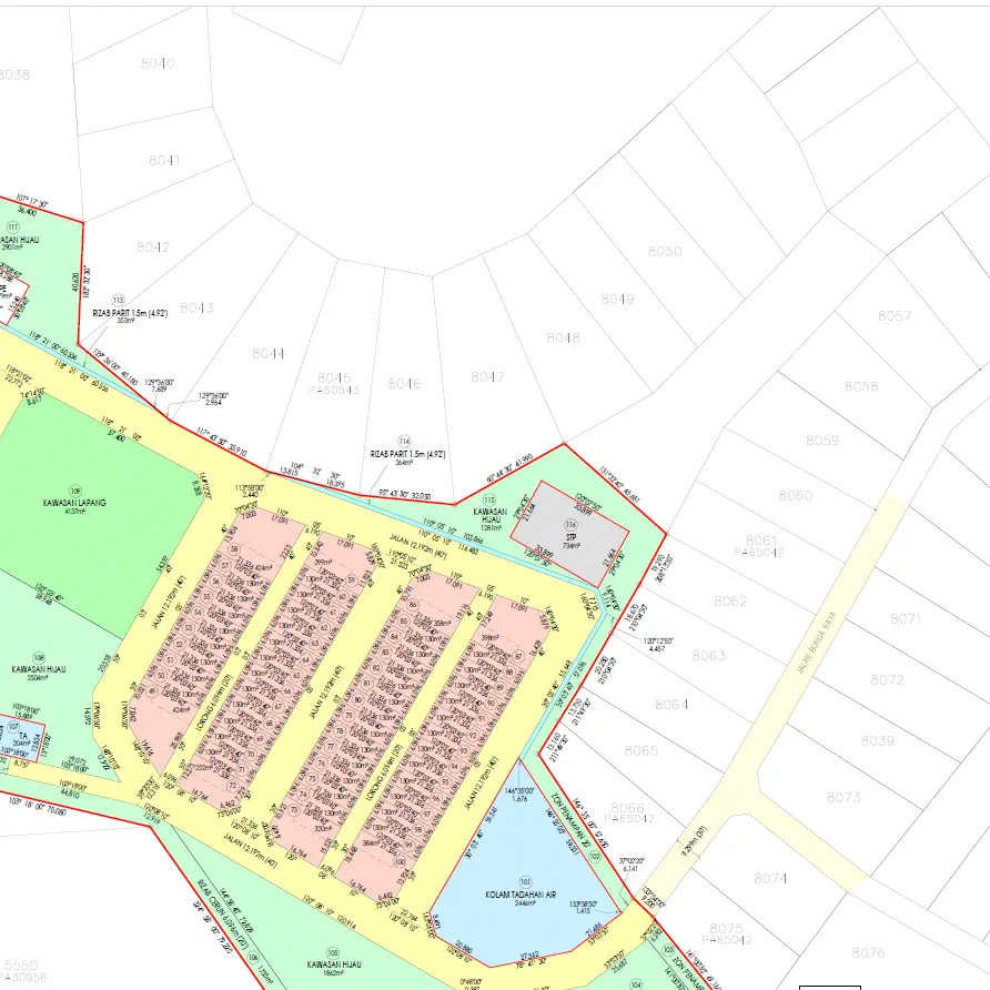
Cadastral Survey
Establish the boundaries and ownership of land parcels, often for legal, taxation, or administrative purposes.
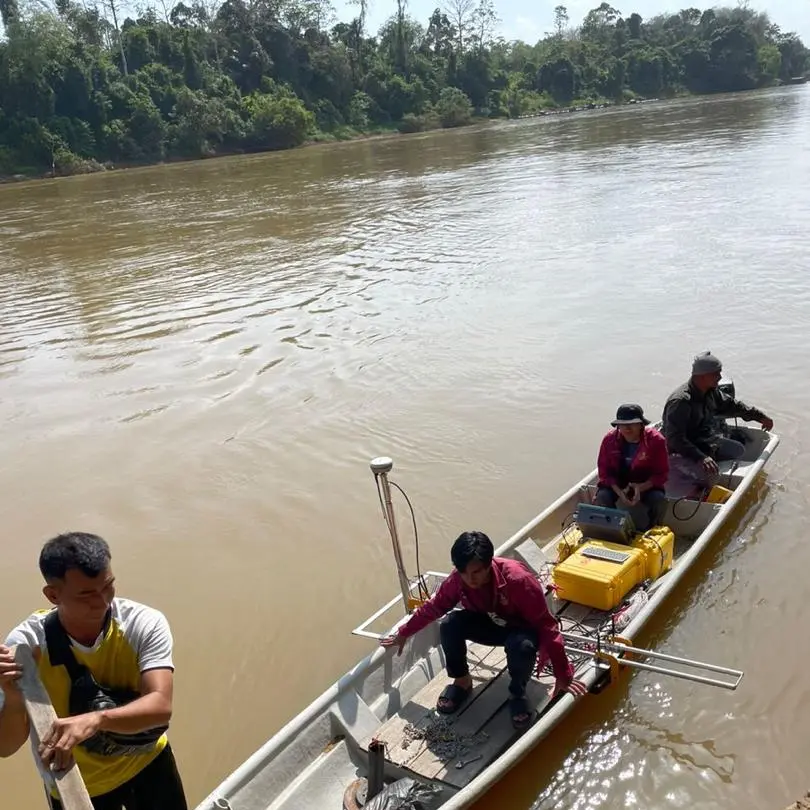
Hydrographic Survey
Surveys focusing on bodies of water, mapping the depth, contours, and underwater features.
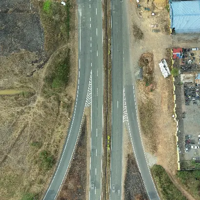
Aerial Mapping
Detailed maps of the Earth's surface using aerial photography and LiDAR technology.
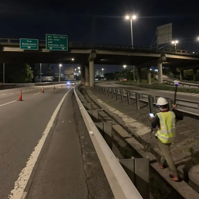
Engineering Survey
Conducted before construction or engineering projects to ensure that the plans are feasible and align with the existing conditions of the land or structure.
Clients


Clients trust us to accurately map their properties
Read about past projects
Contact us for a consultation on your surveying needs